Le Tremblay-sur-Mauldre on the relief France map in Lambert 93 coordinates
|
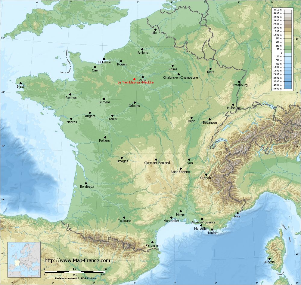
See the map of Le Tremblay-sur-Mauldre in full screen (1000 x 949)
|
At left, here is the location of Le Tremblay-sur-Mauldre on the relief France map in Lambert 93 coordinates.
Here are the altitudes of Le Tremblay-sur-Mauldre :
- Town hall altitude of Le Tremblay-sur-Mauldre is 110 meters
- Minimum altitude of Le Tremblay-sur-Mauldre is 67 meters
- Maximum altitude of Le Tremblay-sur-Mauldre is 175 meters
- Medium altitude of Le Tremblay-sur-Mauldre is 121 meters
Here are the altitudes of Versailles, prefecture of Yvelines department:
- Town hall altitude of Versailles is 135 meters
- Minimum altitude of Versailles is 103 meters
- Maximum altitude of Versailles is 180 meters
- Medium altitude of Versailles is 142 meters
Here are the altitudes of the french biggest cities:
Paris : 33 meters
Marseille : 20 meters
Lyon : 237 meters
Toulouse : 146 meters
Nice : 10 meters
Nantes : 20 meters
Strasbourg : 144 meters
Montpellier : 35 meters
Bordeaux : 16 meters
Lille : 20 meters
Rennes : 35 meters
Reims : 83 meters
Click here for the terrain map of Le Tremblay-sur-Mauldre in full screen:
Relief map of Le Tremblay-sur-Mauldre
|
This relief map of Le Tremblay-sur-Mauldre is reusable and modifiable by making a link to this page of the Map-France.com website or by using the given code :
|
Terrain base map of Le Tremblay-sur-Mauldre
|

See the terrain base map of Le Tremblay-sur-Mauldre in full screen (1000 x 949)
|
Small relief base map of Le Tremblay-sur-Mauldre

|
This base map of Le Tremblay-sur-Mauldre is reusable and modifiable by making a link to this page of the Map-France.com website or by using the given code :
|
Map of Le Tremblay-sur-Mauldre with regions and prefectures
|
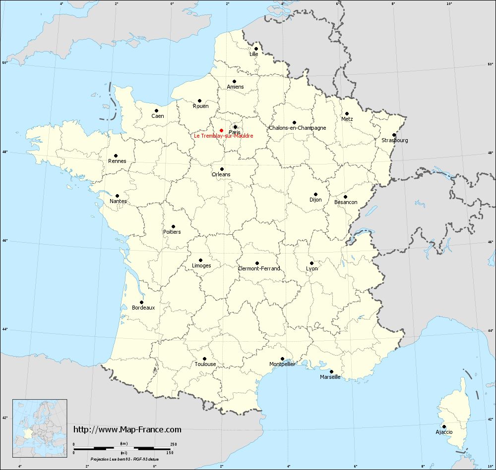
View the map of Le Tremblay-sur-Mauldre in full screen (1000 x 949)
|
You will find the location of Le Tremblay-sur-Mauldre on the map of France of regions in Lambert 93 coordinates. The town of Le Tremblay-sur-Mauldre is located in the department of Yvelines of the french region Île-de-France.
Geographical sexagesimal coordinates / GPS (WGS84):
Latitude: 48° 46' 39'' North
Longitude: 01° 52' 42'' East
Geographical decimal coordinates :
Latitude: 48.779 degrees (48.779° North)
Longitude: 1.878 degrees (1.878° East)
Lambert 93 coordinates :
X: 6 176 hectometers
Y: 68 536 hectometers
Lambert 2 coordinates :
X: 5 663 hectometers
Y: 24 200 hectometers
Below, the geographical coordinates of Versailles, prefecture of the Yvelines department:
Geographical sexagesimal coordinates / GPS (WGS84):
Latitude: 48° 48' 17'' North
Longitude: 02° 08' 03'' East
Geographical decimal coordinates :
Latitude: 48.807 degrees (48.807° North)
Longitude: 2.137 degrees (2.137° East)
Lambert 93 coordinates :
X: 6 364 hectometers
Y: 68 564 hectometers
Lambert 2 coordinates :
X: 5 851 hectometers
Y: 24 229 hectometers
|
This map of Le Tremblay-sur-Mauldre is reusable and modifiable by making a link to this page of the Map-France.com website or by using the given code :
|
Map of Le Tremblay-sur-Mauldre with departments and prefectures
|
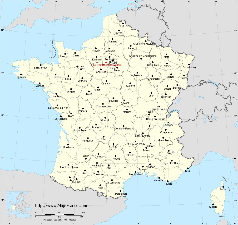
Voir la carte of Le Tremblay-sur-Mauldre en grand format (1000 x 949)
|
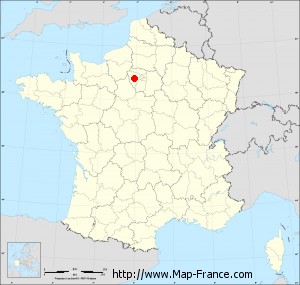
Here is the localization of Le Tremblay-sur-Mauldre on the France map of departments in Lambert 93 coordinates. The city of Le Tremblay-sur-Mauldre is shown on the map by a red point.
The town of Le Tremblay-sur-Mauldre is located in the department of Yvelines of the french region Île-de-France.
The latitude of Le Tremblay-sur-Mauldre is 48.779 degrees North.
The longitude of Le Tremblay-sur-Mauldre is 1.878 degrees East.
Here the distance between Le Tremblay-sur-Mauldre and the biggest cities of France:
Distances are calculated as the crow flies (orthodromic distance)
Distance between Le Tremblay-sur-Mauldre and Paris : 35.41 kilometers
Distance between Le Tremblay-sur-Mauldre and Marseille : 666.62 kilometers
Distance between Le Tremblay-sur-Mauldre and Lyon : 402.66 kilometers
Distance between Le Tremblay-sur-Mauldre and Toulouse : 576.32 kilometers
Distance between Le Tremblay-sur-Mauldre and Nice : 698.76 kilometers
Distance between Le Tremblay-sur-Mauldre and Nantes : 308.37 kilometers
Distance between Le Tremblay-sur-Mauldre and Strasbourg : 431.61 kilometers
Distance between Le Tremblay-sur-Mauldre and Montpellier : 594.49 kilometers
Distance between Le Tremblay-sur-Mauldre and Bordeaux : 475.32 kilometers
Distance between Le Tremblay-sur-Mauldre and Lille : 221.92 kilometers
Distance between Le Tremblay-sur-Mauldre and Rennes : 272.62 kilometers
Distance between Le Tremblay-sur-Mauldre and Reims : 165.69 kilometers
Clic here to see the map of Le Tremblay-sur-Mauldre in full screen:
Le Tremblay-sur-Mauldre on the map of french departments
|
This administrative map of Le Tremblay-sur-Mauldre is reusable and modifiable by making a link to this page of the Map-France.com website or by using the given code :
|
Administrative base maps of Le Tremblay-sur-Mauldre
|

See the administrative base map of Le Tremblay-sur-Mauldre in full screen (1000 x 949)
|
Small administrative base map of Le Tremblay-sur-Mauldre
|
This base map administrative of Le Tremblay-sur-Mauldre is reusable and modifiable by making a link to this page of the Map-France.com website or by using the given code :
|
 French Version : http://www.cartesfrance.fr